noscript
Skip to main content

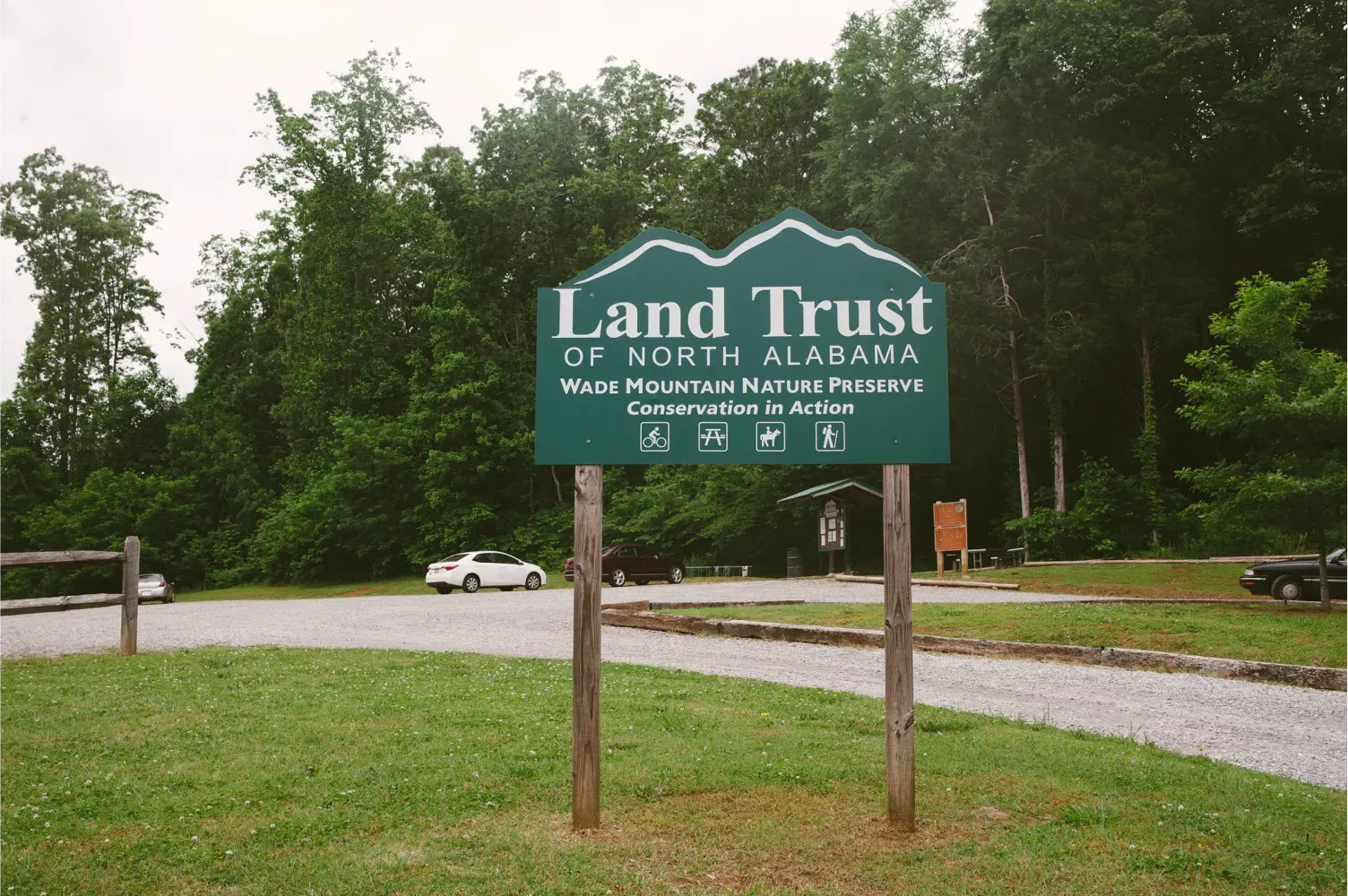
Wade Mountain Nature Preserve

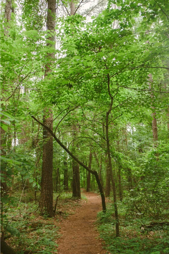
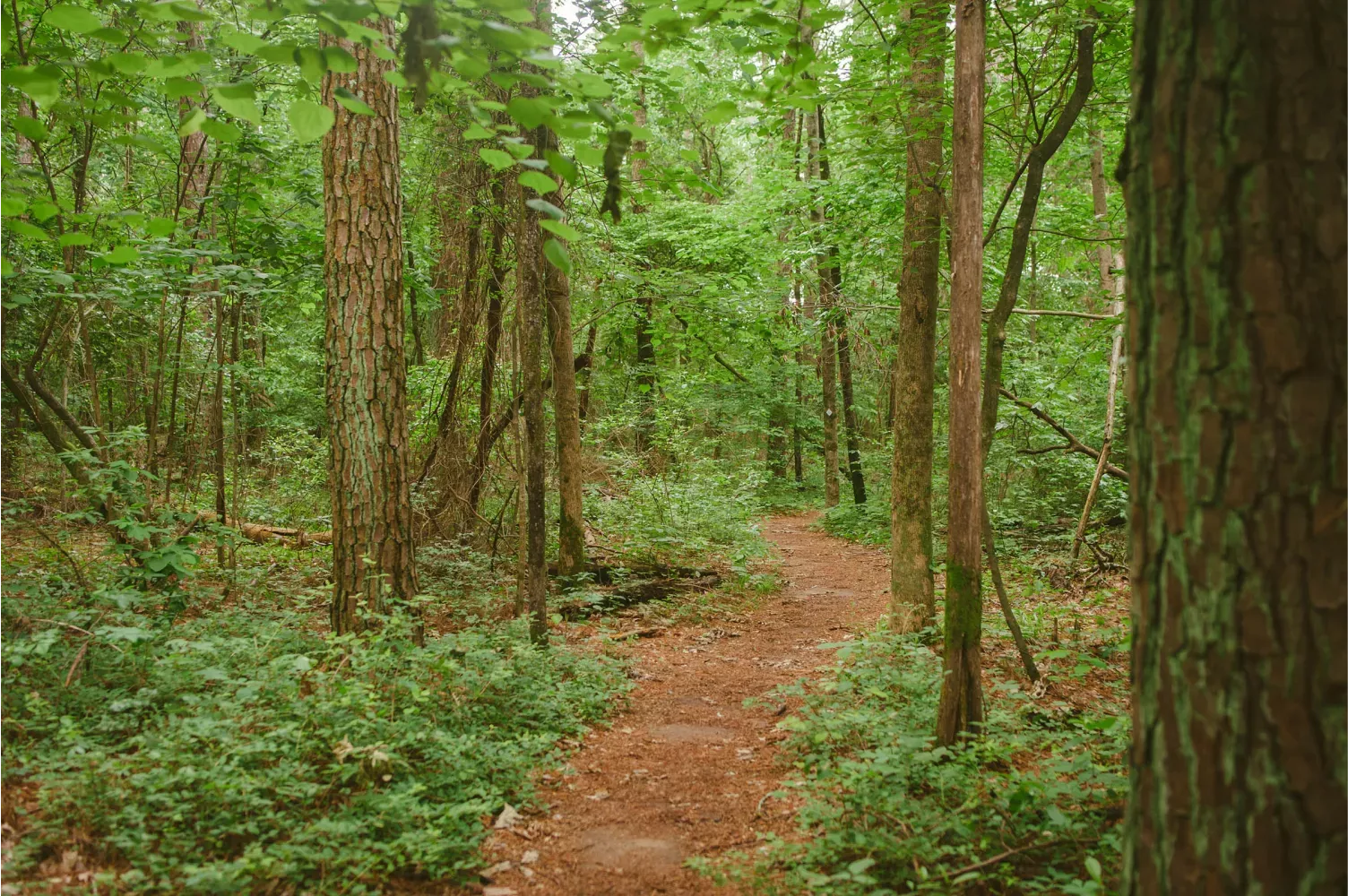
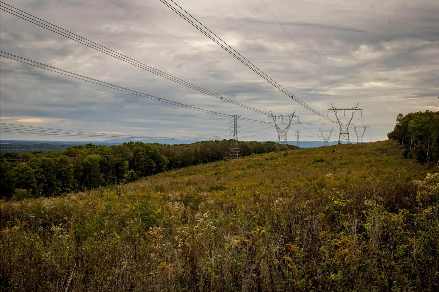
This 935-acre preserve located in North Huntsville, offers approximately 12 miles of trails for hiking, biking, or horseback riding. The trail system can be accessed directly from Spragins Hollow Trailhead or take a short stroll down The City of Huntsville’s Wade Mountain Greenway (a paved walking path) to access the hiking trails from Pulaski Pike Trailhead. A pavilion provides a shady spot to gather along the Greenway.

Upcoming Events at Wade Mountain

Trails

Devil’s Racetrack
1.74 Mile
This trail begins from Spragins Hollow Trailhead with an easy stroll through the woods but eventually takes a turn uphill. Though mostly a gentle change in elevation, there are a few sections that could present a moderate challenge for some. As you reach the top of the trail, it takes a sharp turn and then loops around the mountain’s top. From there you’ll get a clear view as the trail runs adjacent to the powerline cut. The cool rock formations along the trail along the uphill section and the interesting change in terrain and view around the loop make for a memorable hike.
Piney Loop Trail
0.62 Mile
This short loop trail begins directly off of the Spragins Hollow Trailhead. It’s a great quick and easy hike for families or anyone wanting a short nature walk.
Wade Mtn Greenway
0.87 Mile
Beginning from Pulaski Pike Trailhead, this paved pathway is managed by the City of Huntsville, part of their greenway system. This section offers an easy, flat stroll perfect for families with strollers or anyone wanting an accessible option. At the end of the paved greenway, Land Trust hiking trails begin.
Wade Mtn Greenway Trail
0.34 Mile
The start to this trail is flanked by two benches at the end of the paved Wade Mtn. Greenway. The trail ascends quickly and it ends at a bench where the Bostick and Fossil Bench trails split. After the intersection of the Cotton Valley trail, this trail becomes narrow, technical, and rocky as it climbs 200 feet.
Wade Mountain Trail
2.14 Mile
Bostick Trail
1.52 Mile
This trail forms a loop with the Fossil Bench trail and is notable for the seasonal waterfall toward the south end. The north end opens onto a power line clearing that offers views of the valley. A majority of this trail is flat and open with steep rocky inclines at the ends. The trail can be tricky as false trails can cause confusion. The map app is useful at each end to give clarity in directions.
Cotton Valley Trail
0.34 Mile
Gentle loop off of the Wade Mtn. Greenway trail, this hike is both picturesque and peaceful with the open cotton fields nearby. The narrow trail is flat and easily hiked, making it ideal for the whole family.
Fossil Bench Trail
1.28 Mile
A wide flat trail that follows an old service road, and completes a loop with the Bostick trail. The trail is easily followed and passes large rock formations. Two intersections with power-line openings offer scenic views of North Huntsville. Benches along the trail provide a nice respite on this easy hike.
Harris Trail
1.12 Mile
This moderate trail has short, steep, rocky climbs at the ends. The middle section is flat and runs along a spur towards Smither’s Mountain. In the southwest section of the trail, look to find a black lab statue watching over the trail. Also along the middle section of the trail is a natural spring, and a little further on is a bench marking a connector to Wade Mountain trail.
Rock Wall Trail
0.77 Mile
Off the Devil’s Racetrack, this gently rolling single track trail ends at the intersection of Harris and Shovelton trails. Along the way, the hike will take you through remnants of an old man-made rock wall and the Smithers Spring is not far off the trail. Plenty of benches offer frequent rest stops.
Shovelton Trail
0.65 Mile
This flat easy trail is a convenient connection between multiple trails. Frequented by horses, this straight and level trail is great for trail runs. The trail is well marked and early followed, even in the fall when the leaves are down.
Fleming Trail (.08 mi) | NICA Trail (1.3 mi) | Low Peak Trail (0.4 mi)
0.65 Mile

These trails are accessed from Fleming Trailhead and were designed as a training area for beginner mountain bikers, designed in partnership with local school bike teams and Huntsville Area Mountainbike Riders (HAMR).

What You’ll Find

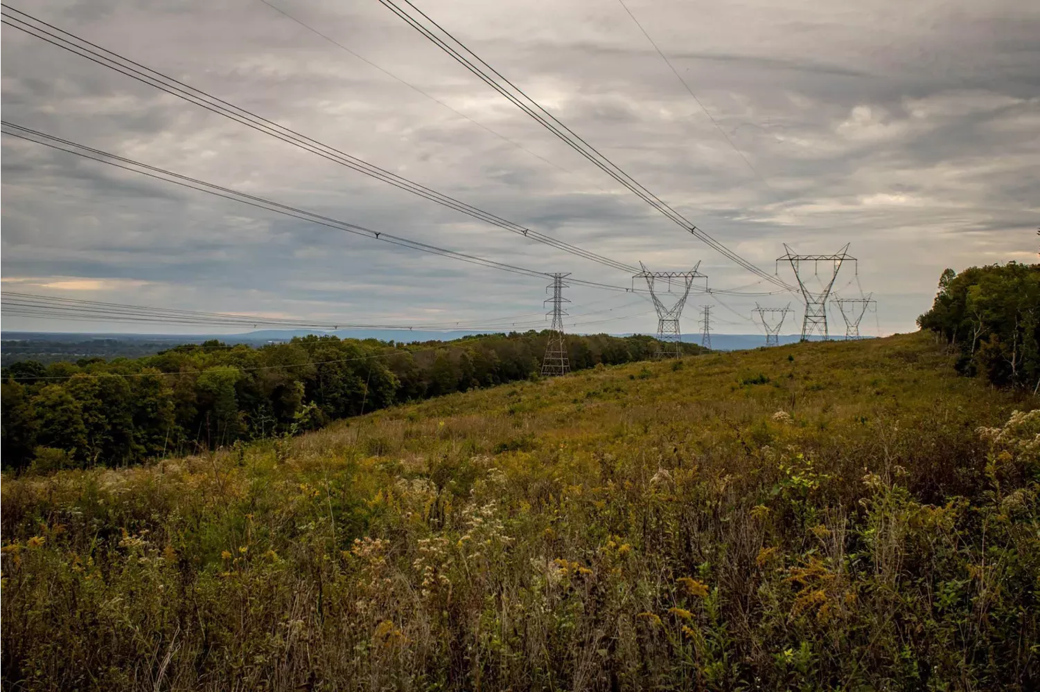
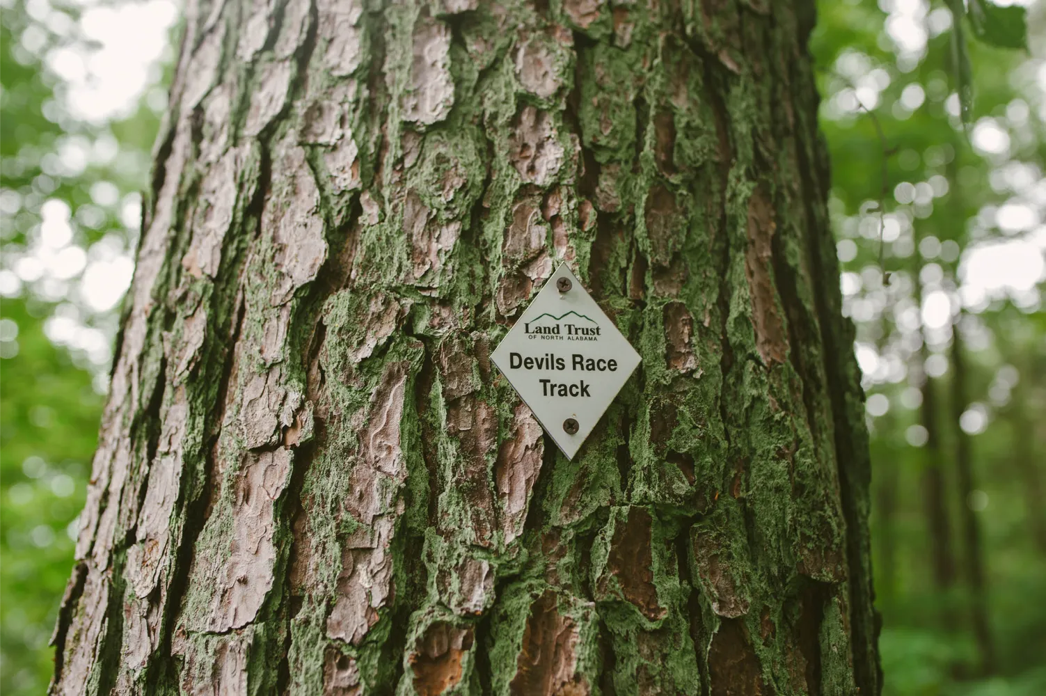
The mountain’s geology influences the area’s microclimate which may be considered almost semi-arid. The land is steep and composed primarily of limestone capped by a layer of sandy soil. Water drains the area quickly, leaving little for the plants which are different from those typical of the area and often smaller than normal. The white ash, cedar, hickory, and scrub glade supports unique species, including wild turkeys. As in most karst topography, there are numerous sinkholes, six springs (four of them intermittent or wet weather dependent), and two waterfalls. Wade Mountain and its springs are the headwaters of Pinhook Creek, which feeds into Huntsville Spring Branch in the heart of Huntsville. The Preserve includes the Devil’s Race Track, a significant geologic feature which has one of the best views of north Huntsville and views to Tennessee on a clear day. This feature is a rock outcropping of limestone and is generally covered with grasses and wildflowers. Folklore that claims the Cherokee Indians raced horses atop the mountain.