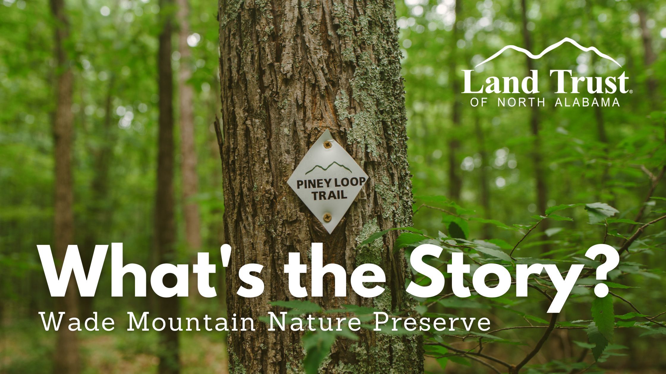
Wade Mountain: What’s the Story?

Land Trust of North Alabama currently has 97 named trails on our public nature preserves, totaling approximately 70 miles. Each one has a unique name some of which we are frequently asked about.
Many trails are named for the area’s natural or historic features. Others honor a land donor, volunteer, or critical partner of the Land Trust. However, certain trail names tell a more unique or unexpected story. No matter which one has peaked your interest or left you wondering, you’ll soon get your answer. In our blog series Trail Names: What’s the Story?, we’ll share a breakdown of all Land Trust trails – one nature preserve at a time – and explain how they got their names.
Wade Mountain Nature Preserve
Trail Names: What’s the Story? Part 7
Wade Mountain Nature Preserve is a 935-acre preserve located in North Huntsville. With approximately 12 miles of trails for hiking, biking, and horseback riding. The trail system can be accessed directly from our Spragins Hollow Trailhead or after a short stroll along The City of Huntsville’s Wade Mountain Greenway (a paved walking path) off of Pulaski Pike. Wade Mountain is known for its interesting rocky terrain and quiet forest. It offers some great short, easy hikes (such as Piney Loop Trail or Cotton Valley Loop) or some of our longest hikes (such as a thru-hike from Pulaski Pike to Spragins Hollow), depending on what you’re looking for. If you haven’t explored here yet, add it to your must-hike list. You can find a trail map and more information about Wade Mountain Nature Preserve here.

- Bostick Trail (1.52 mile) – This trail on the western side of the trail system is named in recognition of Marie Bostick, our Executive Director, and her efforts at preserving Wade Mountain. Marie began her time at the Land Trust as a volunteer building trails not long after our founding and eventually served two terms on our Board of Directors before filling the role of Executive Director in 2014. We’re incredibly grateful for her continued years of service and obvious passion for our mission.
- Cotton Valley Trail (0.34 mile) – Toyota Motor Manufacturing of Alabama’s facility is located just around the corner from Wade Mountain on Cottonvalley Drive and often lend a hand with trail builds and other service projects on this property in particular. This trail name offers a subtle nod to their long-term commitment and support as a Land Trust partner.
- Devils Racetrack Trail (1.74 mile) – One of the preserve’s most popular trails. This 1.74 mile trail begins from our Spragins Hollow Trailhead and serves as a main thoroughfare for the eastern side of the preserve. The trail ends with a loop at the top of the mountain that is distinct from the surrounding area. This loop is what gives the trail its name. Anecdotal history reports of Native American pony races around the grassy knoll atop Wade Mountain.

- Fleming Trail (0.08 mile) – Before becoming part of the Land Trust nature preserve, this land was owned by the Fleming family.
- Fossil Bench Trail (1.28 mile) – As you may have guessed, a profusion of fossils can be found along this trail corridor if you know what you’re looking for.
- Harris Trail (1.12 mile) – Most of Wade Mountain was part of a farm for many years that was owned by the Harris family.
- Low Peak Trail (0.40 mile) – There are three peaks, or points of higher elevation, on Wade Mountain and this trail is named for it geographical location as the lowest of three.
- NICA Trail (1.30 mile) – This trail along with the other trails at Wade Mountain’s Fleming Trailhead were constructed to provide a training area for new mountain bikers. NICA, which stands for National Interscholastic Cycling Association, is the local high school mountain bike group. They helped to design and build the trails.

- Piney Loop Trail (0.62 mile) – Surrounded by a pine forest, this trail has a thick carpet of pine needles and offers one of our favorite short, easy hikes. You can access Piney Loop Trail directly from Spragins Hollow Trailhead.

- Rock Wall Trail (0.77 mile) – A historic rock wall runs alongside the trail in places. Although we do not have documentation, we are fairly certain that this wall was once a barrier for livestock or used as a field boundary back when it was open pastureland.

- Shovelton Trail (0.65 mile) – The Shovelton family is a former owner of this land and longtime supporters of the Land Trust. A portion of this property was donated by the Shoveltons.
- Wade Mountain Trail (2.14 mile) – Sometimes trail names are dull and obvious. This is one of those. But the trail is not boring! It provides the only connection between the eastern and western portions of the trail system.
- Wade Mountain Greenway Trail (0.34 mile) – To access the trails on the western end of Wade Mountain Nature Preserve, you’ll begin on the City of Huntsville’s Wade Mountain Greenway. The .86-mile greenway is a paved path. However, the pavement ends at the Land Trust preserve boundary. From there, it becomes Wade Mountain Greenway Trail, a natural surface hiking trail.

Stay tuned. More trail names to come.