New Trails Ahead & More to Come

We completed two major trail additions this spring – one at Chapman Mountain and the other on Green Mountain. Both are now open and ready to hike!
Like all of our new trail construction and renovations, both projects utilized construction methods to ensure safe, sustainable paths that will last for years to come. Check out our Sustainable Trails blog series if you’re interested in learning more about our trail building process, including the construction methods and trail features you may see while you hike any of our new or recently renovated trails.

Chapman Mountain Nature Preserve
Bulldog Trail
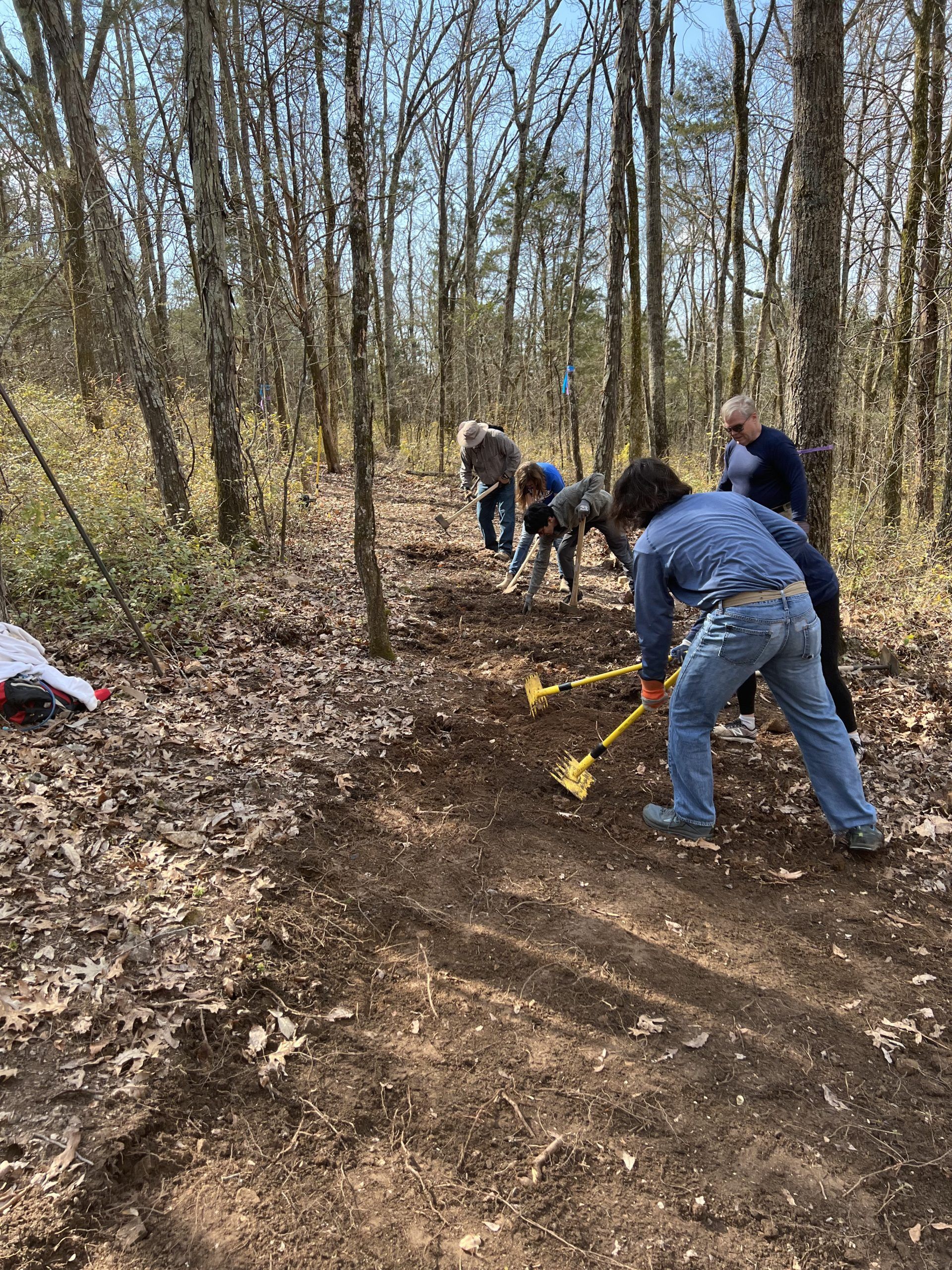
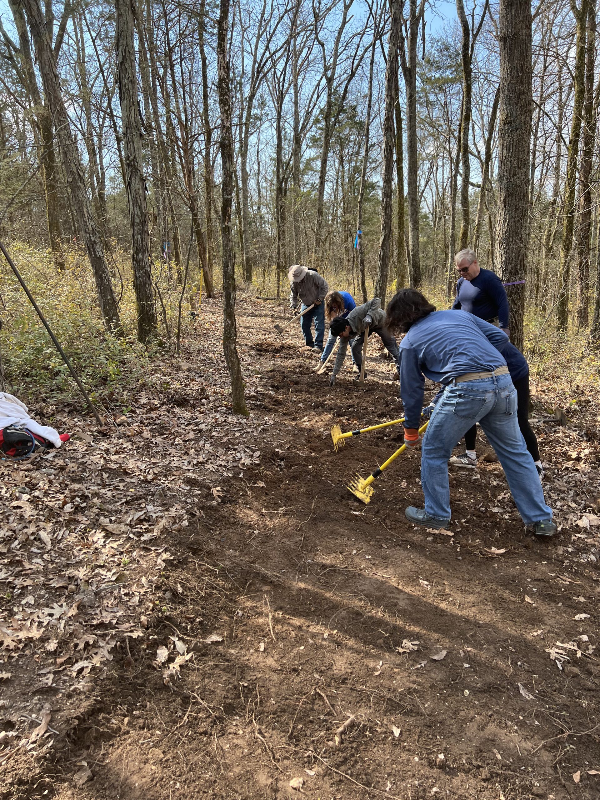
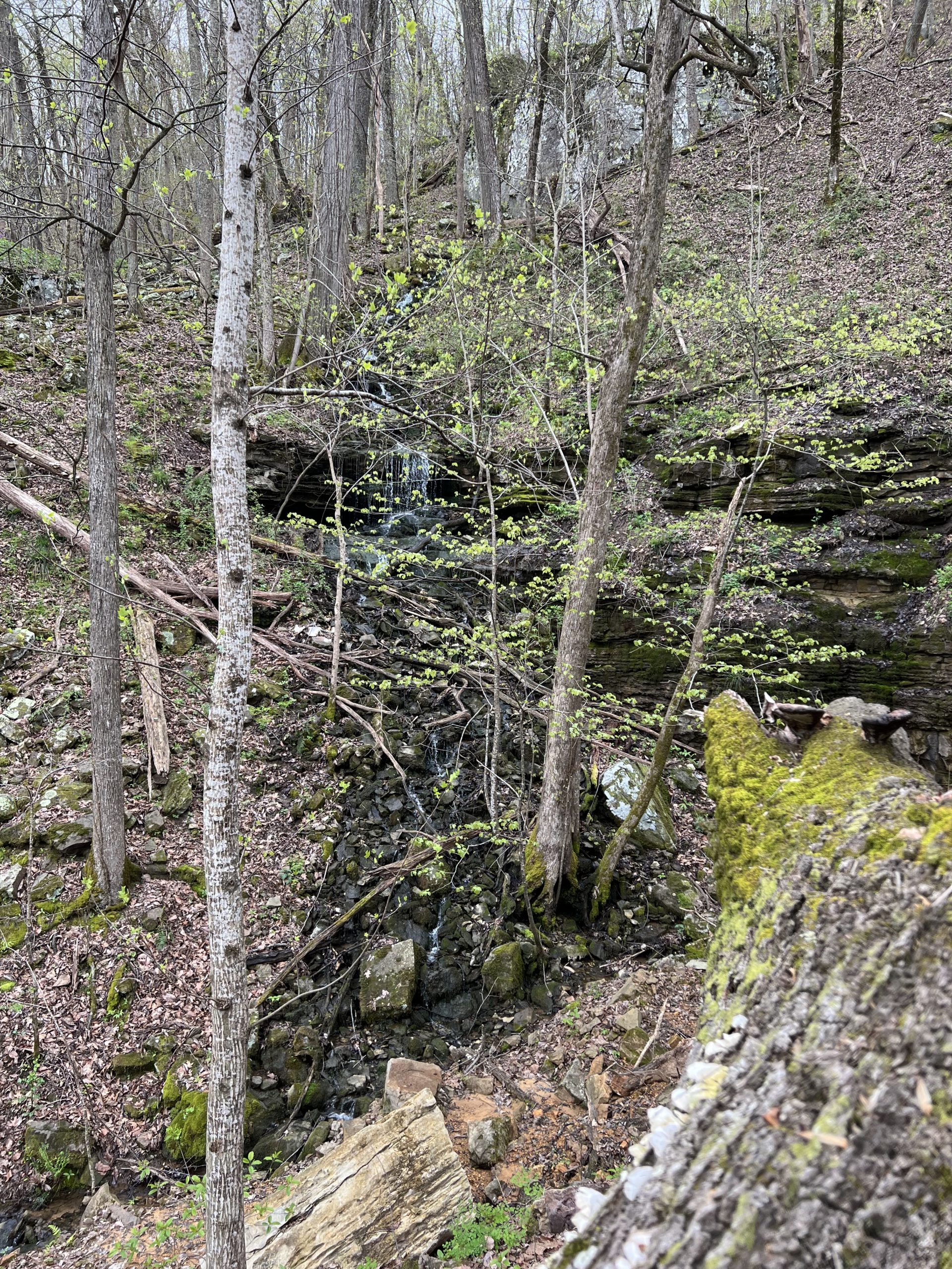
In 2018, the Land Trust entered into a trail license agreement with Alabama A&M to utilize the university’s 225-acre property adjacent to Chapman Mountain Nature Preserve. Bulldog Trail, named after the A&M mascot, offers access to this partner property. A portion of this trail has been in place for a couple of years but with grant funding from REI Co-op and volunteer assistance from Dynetics, Monte Sano Research Corporation, and countless individuals, the trail has now been improved and extended an additional mile making it a complete 1.5-mile loop that connects with Terry Trail on both ends. Several trail benches and intersection markers will be installed over the summer as part of an Eagle Scout project. The new trail is considered moderate in difficulty due to some slight elevation changes and sections of uneven hiking surface. The trail transitions through diverse sections of the forest. On one end the forest is open with a mix of hardwoods, the middle section of the trail shows the extensive honeysuckle infestation, as the trail progresses through the honeysuckle the ground become rockier and passes through some interesting limestone features.
Green Mountain Nature Preserve
Turtle Creek Trail

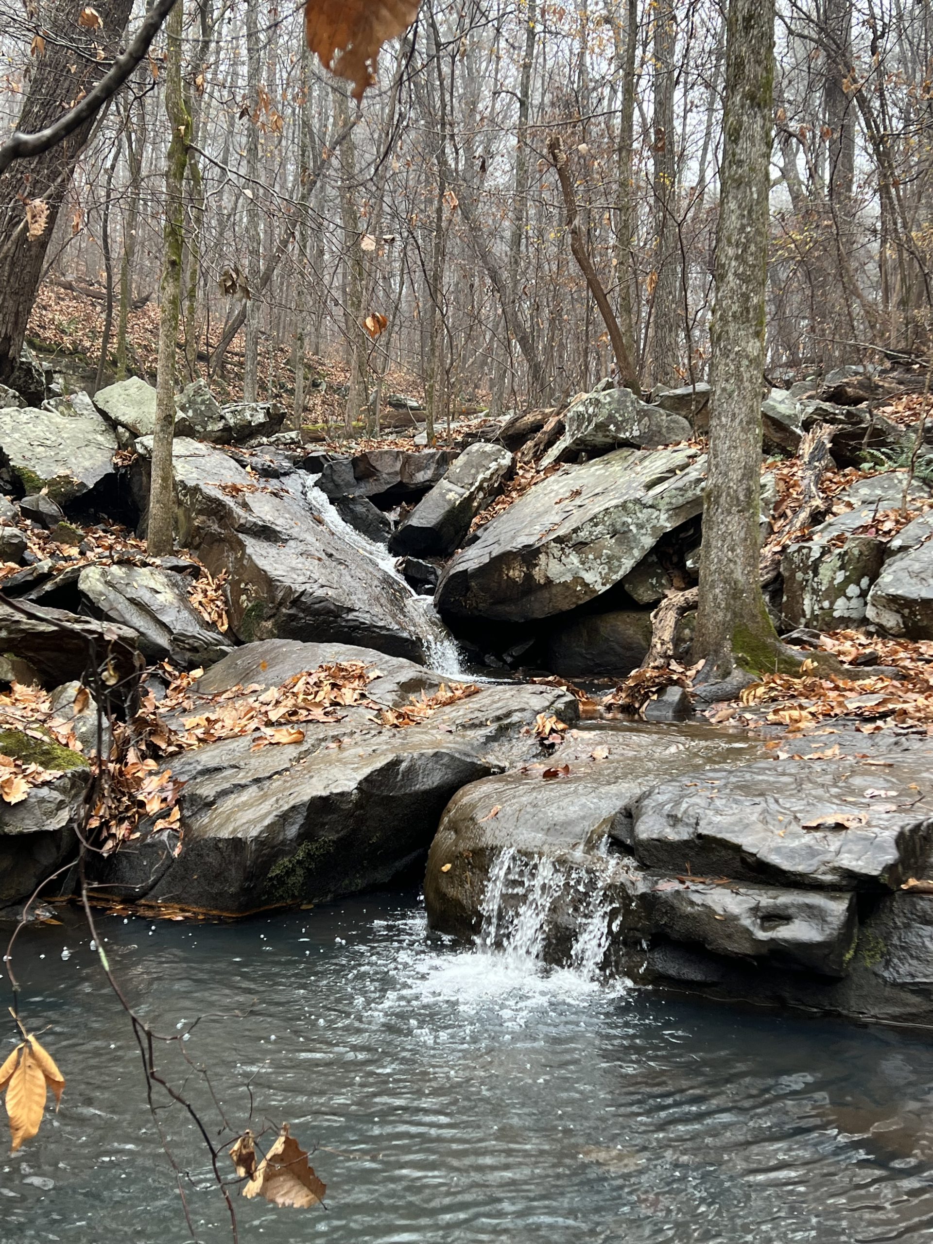
On Green Mountain, we’ve added Turtle Creek Trail, a short addition (just under .25 mile) that connects Alum Hollow Trail down the mountain to Ranger Trail. The name comes from long-time Trail Care Partner Phill Gibson who grew up wandering this mountainside as a child and recalls finding a proliferation of turtles along the creek banks near the new trail corridor. Our wonderful volunteers including groups from Graham and Company and UAH Emerging Leaders all lent a hand to construct this connector trail. In addition, where Turtle Creek intersects Ranger Trail, a log bridge was removed and over two days in March six volunteers helped build an impressive new bridge. Prior to construction, 19 volunteers from UAH transported the materials for the project over a third of a mile downhill to the remote site. The trail, which parallels Turtle Creek, rates moderate in difficulty due to slight elevations changes and sections of uneven hiking surface. With the sound of flowing water and beautiful views of the creek, it offers a tranquil and peaceful hiking experience.

What’s Next?
Green Gate Trail
Now that these trail projects are complete, what are we working on next? We recently mapped out a path for a future trail on Green Mountain, nearly two and half miles long, that will provide access to a completely new area of land not currently accessible to the public. This new trail is a portion of the City of Huntsville’s Greenway Master Plan and our River to Gap Vision, a connected corridor running from Blevins Gap on Cecil Ashburn to the Tennessee River. We’ll begin trail work in June and hope to complete it by the end of 2022. However, it is difficult terrain so the process may prove to be a slower than expected as we take our time to construct it correctly. If you are interested in volunteering to help with trail construction, check our events calendar for upcoming trail care work days on Green Mountain and sign up to join us!
Plan Your Hike
You can download trail maps for all Land Trust nature preserves at landtrustnal.org/explore. Select the property you’re interested in from the Locations list and you’ll find a green “Download Trail Map” button on each nature preserves page along with trailhead locations, trail descriptions, and other helpful information. And Land Trust members enjoy exclusive access to our map app, which provides GPS-enabled maps and cool features like tracking your hikes or tagging locations.
Looking for a fun challenge? Hike ALL 70+ miles of Land Trust trails! Take it at your own pace or follow our Hike the Land Trust guided hike series throughout 2022, as we lead the way to help you cover ALL Land Trust public trails! Download a trail checklist or see the full guided hike schedule at landtrustnal.org/hikechallenge.